Identity in your hands.
Device identity can exist independently of cloud accounts and phone numbers. Keep your contacts and conversations on personally controlled hardware.
 Trail Mate
TOOLS FOR THE FIELD
Maps, communication and coordination for the outdoors.
Carry maps, record your route and coordinate with your group. Basic Meshtastic and MeshCore support lets you contact compatible terminals nearby; protocol coverage follows practical outdoor needs.
ON YOUR DEVICE
Load maps and routes, check positioning and test communication with your group before departure.
Latest Release
Waiting for first tagged release
Enable JavaScript to use the interactive guide. Product information, setup links and hardware notes remain available below.
Trail Mate implements basic Meshtastic and MeshCore communication so you can contact nearby compatible terminals to exchange information, ask for help, or coordinate outdoors.
This is selective protocol support, not a complete implementation or feature parity with either ecosystem's native firmware. Advanced radio features unrelated to outdoor use are outside Trail Mate's scope. Protocol work is guided by practical field needs.
Device identity can exist independently of cloud accounts and phone numbers. Keep your contacts and conversations on personally controlled hardware.
Select Meshtastic, MeshCore or Reticulum. One protocol is active at a time. Meshtastic and MeshCore support focuses on basic outdoor communication, rather than complete protocol feature coverage.
Keep maps, contacts and recorded tracks on the device. Prepare the resources you need before departure; desktop tools can help manage maps and routes.
On-device TAK brings together members, positions, waypoints, tracks and team messages. Public discovery, contact positions, team positions and local tracks remain distinct.
Built for days when a phone is not enough: keep maps on SD, send messages without mobile networks, record tracks, check signal and GPS, and install extra language packs when you need them.
What It Does
Pick the right hardware, flash the matching firmware, load maps and language packs, then use the device when the phone network disappears.
Devices
Each supported board has its own firmware, install notes, and hardware caveats.
Navigation
Load map tiles from SD, switch layers, check GPS fix quality, and review routes or tracks in the field.
LoRa
Send direct, channel, or team messages over supported LoRa mesh modes and keep clear feedback when a send fails.
Install
Supported ESP32 devices can be flashed from the browser; other boards use downloaded firmware files.
Localization
Install fonts, translations, and keyboard layouts from Extensions instead of filling the firmware with every language.
Field Tools
Use track recording, GPS views, signal checks, SSTV, and USB data exchange when the trip calls for more than chat.
Devices
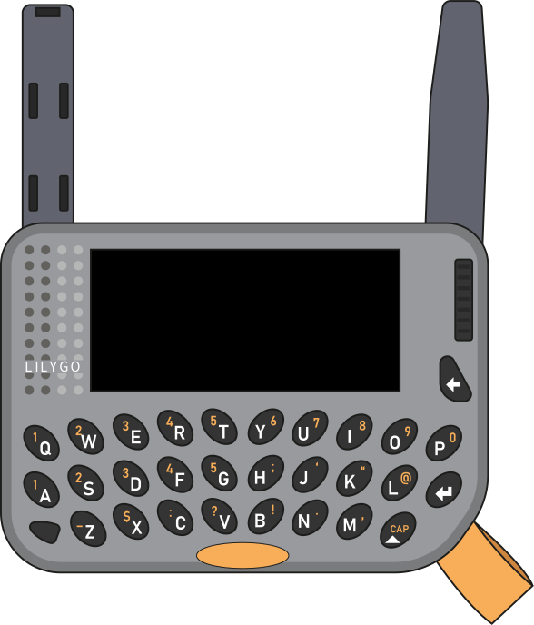
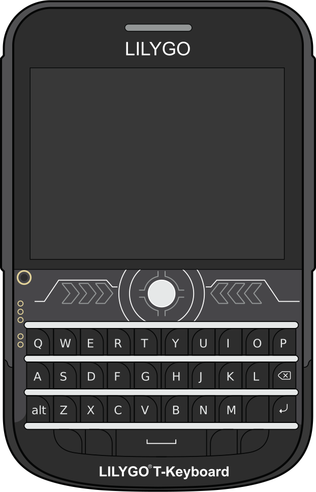
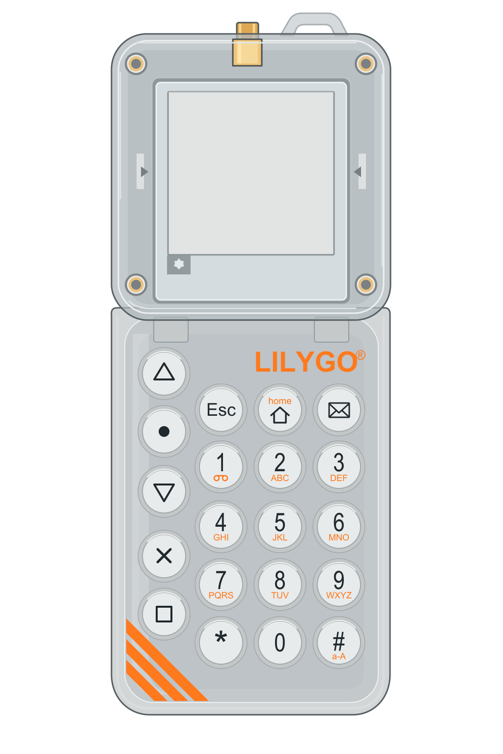
Pager and T-Deck are the two complete screen experiences. T-Echo-Lite remains a supported manual-flash target.
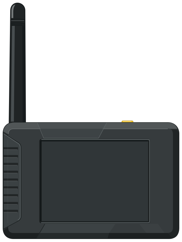
Seeed Studio · 3.2″
Not yet on saleNAVIGATION & SURVEYING
Offline maps show the surrounding terrain. GNSS diagnostics help assess positioning quality; track recording preserves your path. KML routes provide elevation and waypoint context.
COMMUNICATION & COORDINATION
Choose a network, keep your contacts and check message delivery. Pair a team nearby using ESP-NOW, then share positions, assembly points and messages over LoRa.
FIELD TOOLS & CONNECTIONS
Browse Reticulum Micron services through Nomad Network. Use MQTT when a gateway is available, and prepare map regions and routes with Trail Mate Center.
BEFORE DEPARTURE
Choose the exact board and radio variant, flash its firmware and check the available peripherals. Pager SX1262 and LR1121 use separate builds.
Load your map region, import KML routes and install the language packs you need. Prepare map regions and route corridors with Trail Mate Center.
Trail Mate Center ↗Choose a protocol and compatible radio settings. Check contacts and GNSS, pair the team nearby, and exchange a test message before departure.
Setup guide: file paths, hardware controls and device-specific instructions ↗
WHY A SCIENTIFIC CALCULATOR?
The scientific calculator supports outdoor surveying: estimate height differences, convert slope distances to horizontal distances, and calculate slope angles or gradients from your measurements.
At a horizontal distance of 30 m and an elevation angle of 35°, the height above the observation level is 30 × tan(35°) ≈ 21.01 m.
For tree height, add instrument height when the tree base and your footing are level; otherwise account for the ground elevation difference.
A straight 100 m segment at 20° has a horizontal distance of 100 × cos(20°) ≈ 93.97 m and a rise of 100 × sin(20°) ≈ 34.20 m.
Calculate curved routes or changing slopes segment by segment.
A 12 m rise over a 40 m horizontal run gives atan(12 ÷ 40) ≈ 16.70°, or a 30% grade. Degrees and percent grade are different units.
Supports sin, cos, tan, inverse trigonometric functions, powers, roots and logarithms, with DEG/RAD modes. Enter measured angles and distances; the calculator does not measure them.
Try the calculator ↗Localization
English is always available. Other fonts, translations, and keyboard layouts can be installed from Extensions, including Cyrillic keyboard support.
Built-In Default
The device can boot, recover, and stay usable even when no external language packs are installed.
Pack List
Language packs can include translations, fonts, and keyboard layouts. Install them from the device instead of rebuilding firmware.
Pack Status
Some languages are ready for daily use; others still need review from native speakers. The list keeps that visible.
Catalog
Published locale bundles from the current Pages build will appear here.
Install
Use Google Chrome or Microsoft Edge over HTTPS with a USB data cable. Pick the card that matches the radio chip on your hardware.
1. Connect the device with a USB data cable.
2. Put the board into download mode if your hardware requires it.
3. Choose the correct target and let the browser flash the merged image.
Read More
The wiki has hardware notes, flashing steps, map preparation, configuration help, troubleshooting, and full release notes.
